Basemap tutorial
Basemap is a great tool for creating maps using python in a simple way. It’s a matplotlib extension, so it has got all its features to create data visualizations, and adds the geographical projections and some datasets to be able to plot coast lines, countries, and so on directly from the library.
Basemap has got some documentation, but some things are a bit more difficult to find. I started a readthedocs page to extend a little the original documentation and examples, but it grew a little, and now covers many of the basemap possibilities.
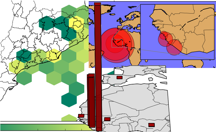
Some of the examples from the tutorial
The tutorial can be found at http://basemaptutorial.readthedocs.org/, and all the examples and its source code, at GitHub and it’s available for sharing or being modified by adding the attribution.
The tutorial covers:
- An introductory chapter, showing the basic functionalities, and how to work with the included methods for reading shapefiles
- The explanation and an example for each of the basemap methods
- A section with more advanced examples, such as 3D maps, multiplots or WRF examples
I would really appreciate some feedback, the comments are open!